Thursday August 22, The endless beauty of Montenegro (351 km)
Today’s route came out literally the last minute. Originally the plan was to go south to the coast and see the Sveti Stefan. But plans are to be changed… My latest information was that Sveti Stefan cannot be visited because of works and my good friends Iakovos and Antonis who, not long ago, had visited the same areas were emphatic: Avoid the beach and go to the National Parks of Montenegro…
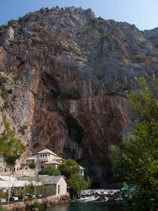
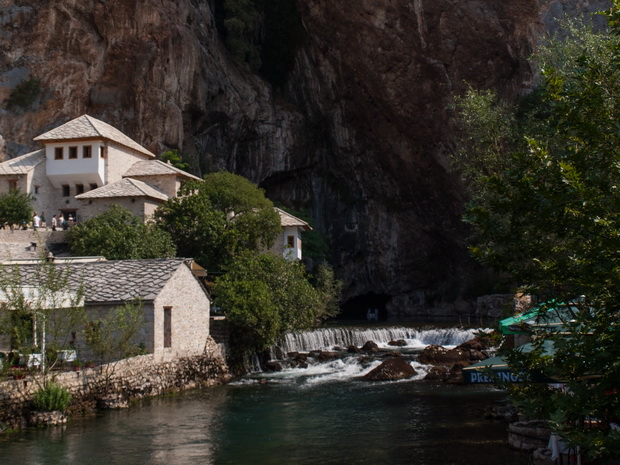
Our first stop is just a few kilometers out of Mostar, in the village Blagaj, to admire the source of the river Buna which spurts through a mountain canyon.
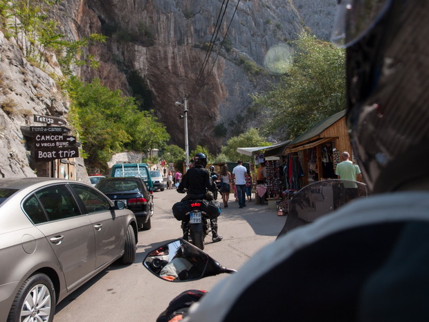
We take some photos in a hurry because the locals don’t let us park our bikes outside the closed shops. They want to sent us to the parking area in order of course to pay…
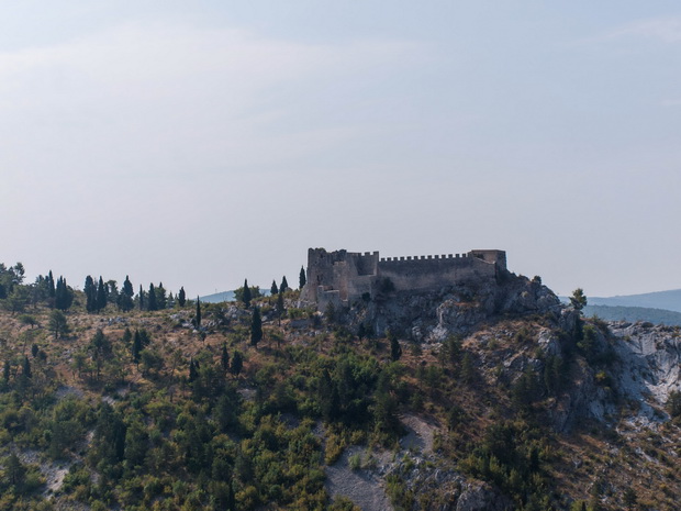
The village is located just outside our current route and according to the map we should return to Mostar in order to take the right path. The GPS however, has another opinion. It directs us through some narrow streets, almost within courtyards, roads with cement and lead us finally on the right track just in front of the city’s historic castle which is located on a hill above the city.
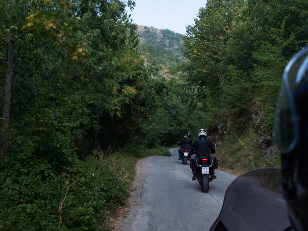
We do not have time for a visit, so we continue our bumpy mountain route. Truly enjoyable…
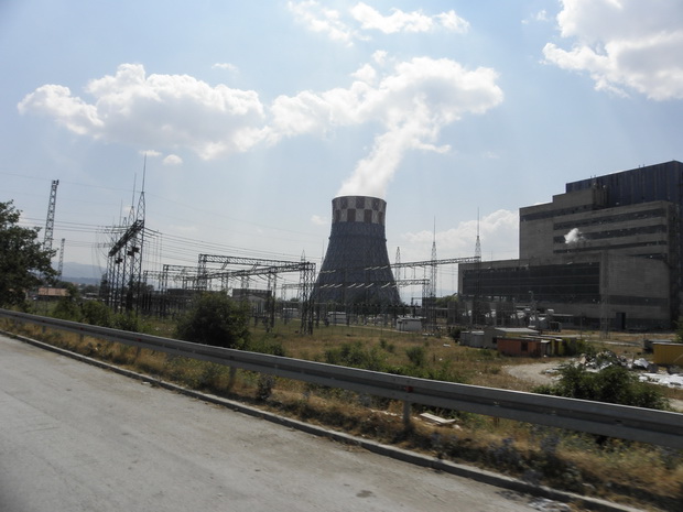
At the entrance of the village Gacko we come across an awful construction. A thermoelectric plant which destroys the beautiful landscape. Signs inform us that taking pictures is prohibited… Probably they are trying to hide it from the outside world…
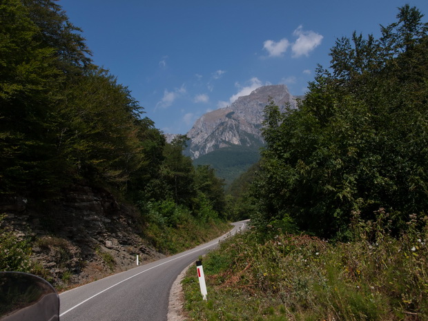
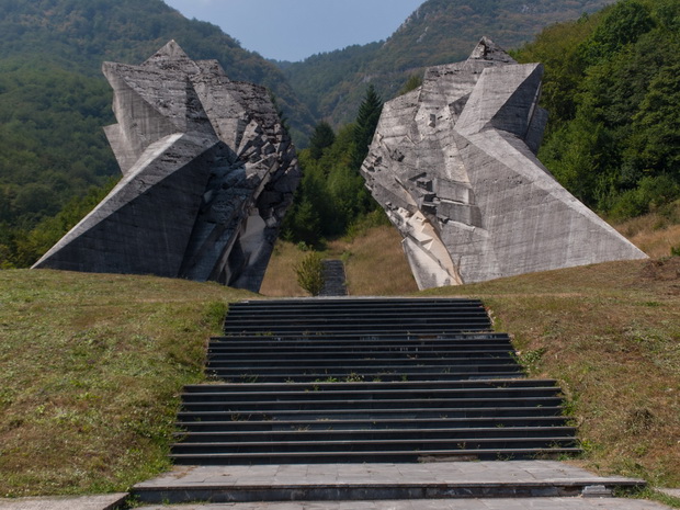
A little further we pass by the lake Klinje and then through a fresh uncharted road we enter the stunning National Park Sutjeska.
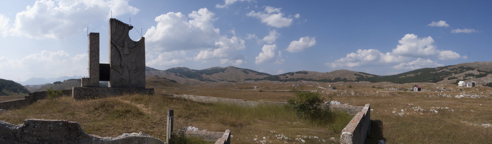
In the center of the park we stop at a monument which is dedicated to the homonymous battle which lasted from 15 May until 16 June 1943 during World War II.
For the record, the Partisans under the guidance of Tito, defeated the German army, despite their great losses. Rumors say that Tito was killed in this battle and the Soviets put in his place an impostor (a ruined Polish aristocrat) who acted as a spy. It is said that the fellow villagers didn’t recognize him after the war, as the real Tito had lost three fingers, while his replacement could play the piano.
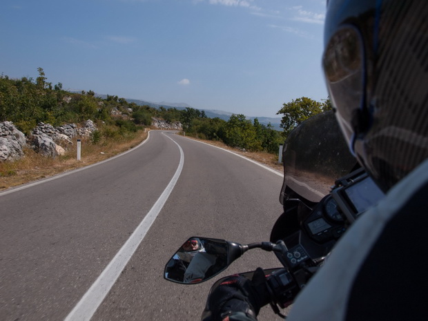
After the short break, we get back to our motorcycles and continue following the river Drina.
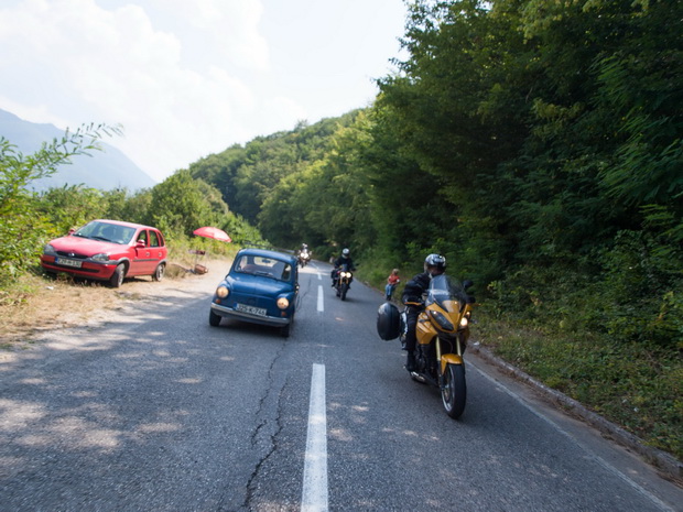
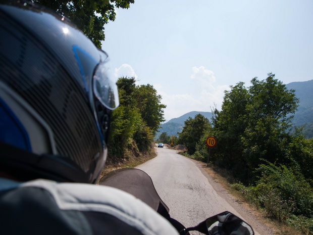
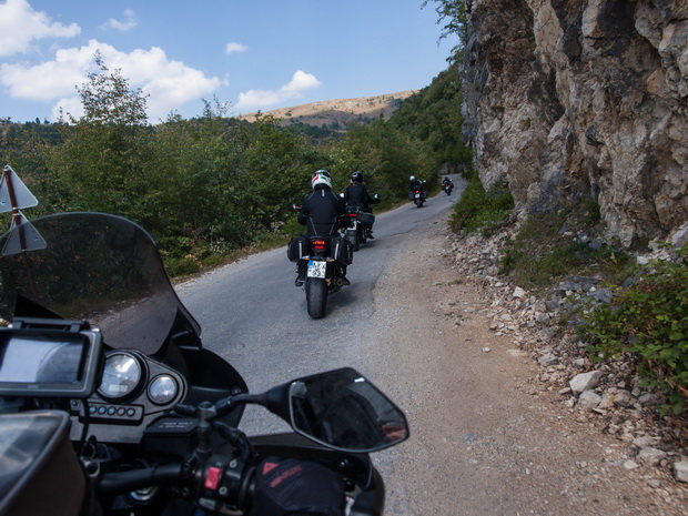
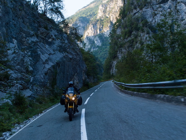
In the village of Brod we change river bank and continue through a very bad road towards the borders with Montenegro. In my travels I do not ever remember elsewhere a sign defining a speed limit of 10 km/h!
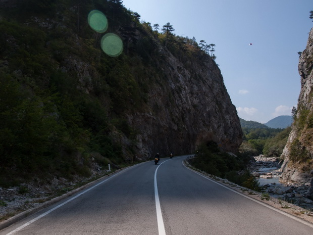
Border crossing was easy and after a few minutes we continue our route beside the Piva river.
Words sometimes are unnecessary…

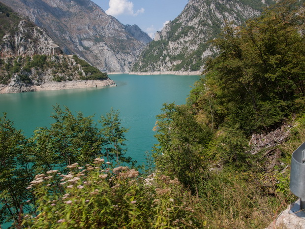
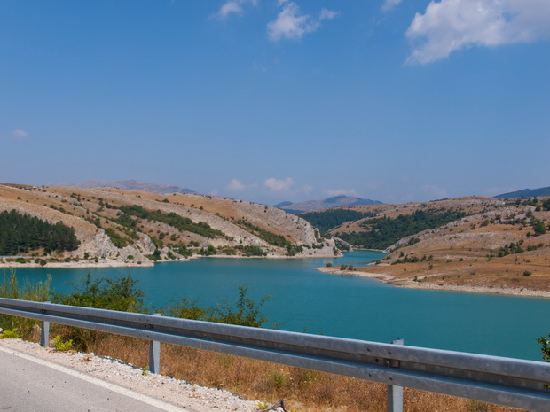
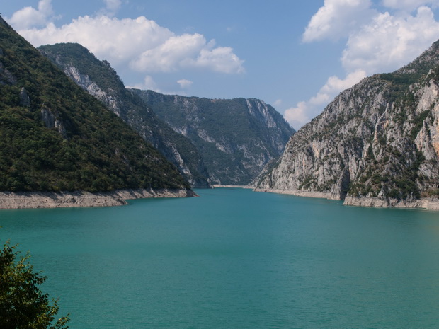
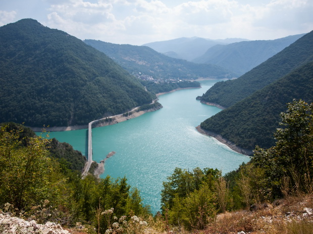
The beauty of the landscape continues as we reach Piva lake…

Click to enlarge
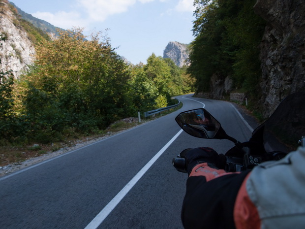
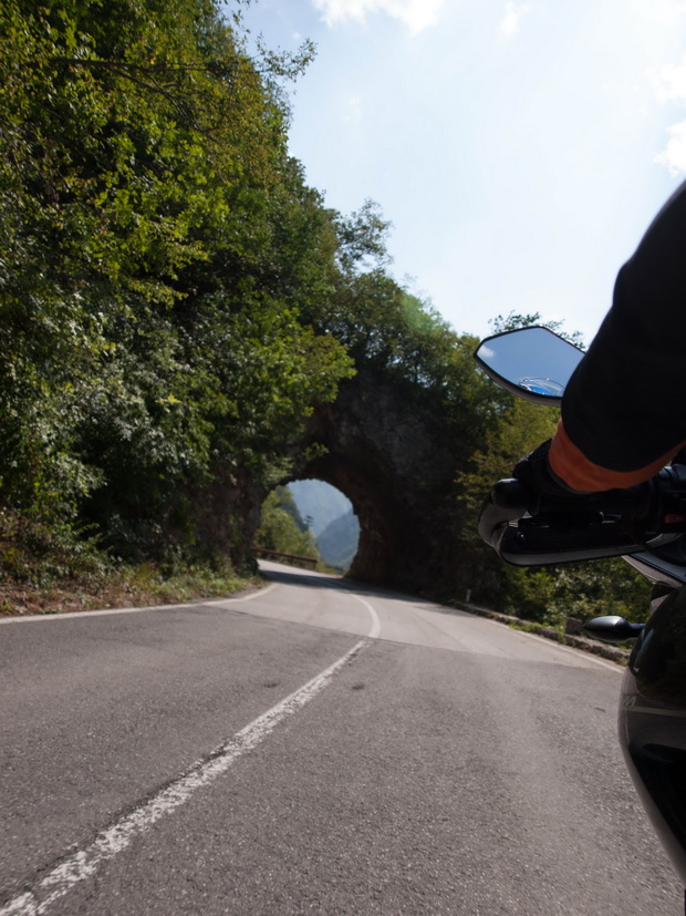
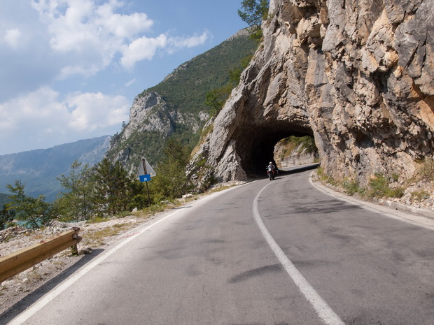
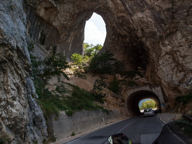
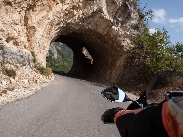
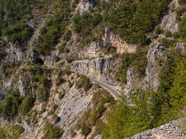
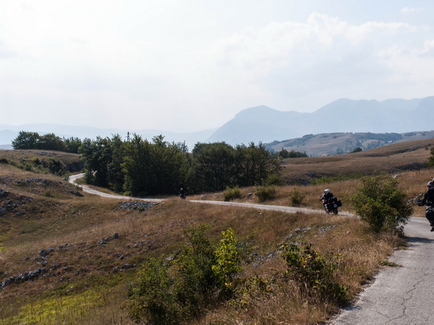
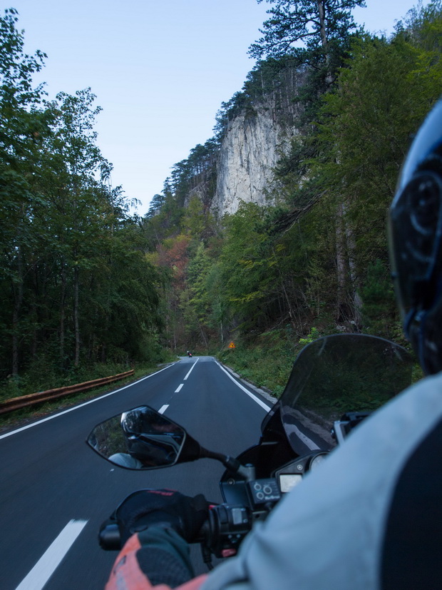
We grab some photos and continue our route through a narrow and full of scary tunnels road towards the National Park Durmitor. It’s the first time I meet a tunnel that contains a 180-degree turn, and of course without lights! Nevertheless, the driving remains fun with a nice view to the huge lake.
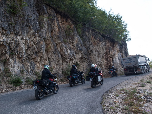
It’s hard to overtake trucks like this one in a narrow road…
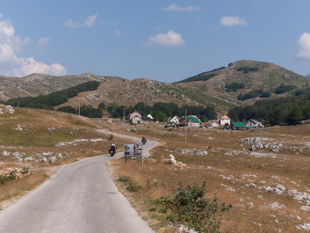
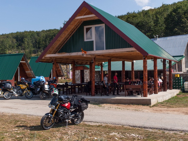
The beauty of the landscape is absolutely amazing. We make a stop to enjoy it at a café -tavern-rent bungalows at a plateau, somewhere in the park. The catalogue had frappe (Greek cold coffee), so I gave it a try…
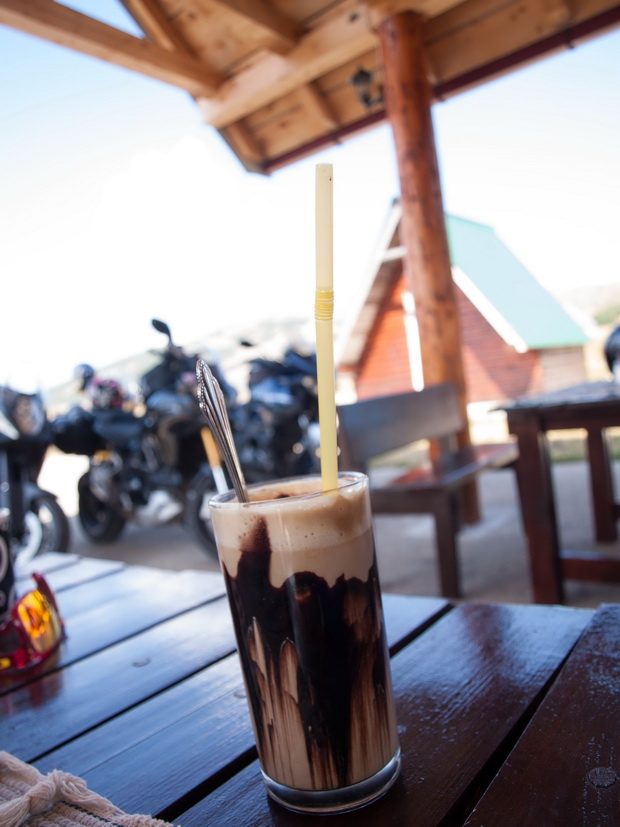
Their frappe has nothing to do with the Greek one. It was milk with chocolate and some coffee…
Click to enlarge
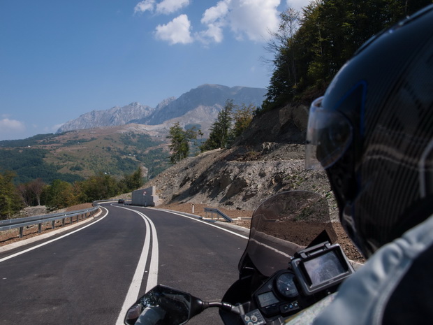
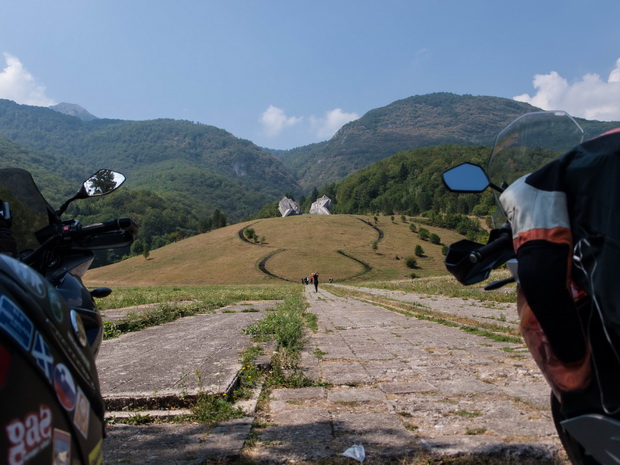
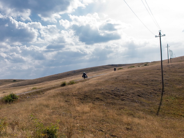
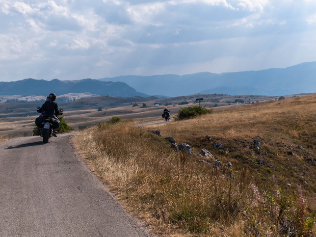
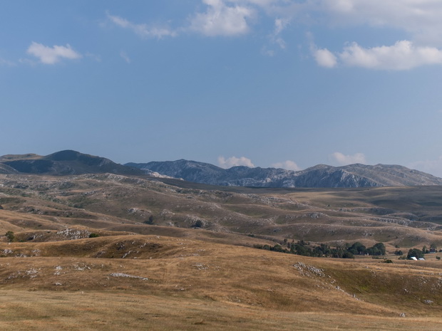
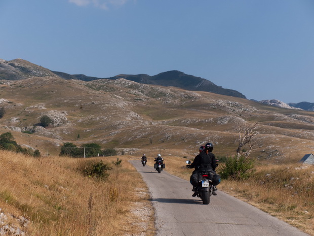
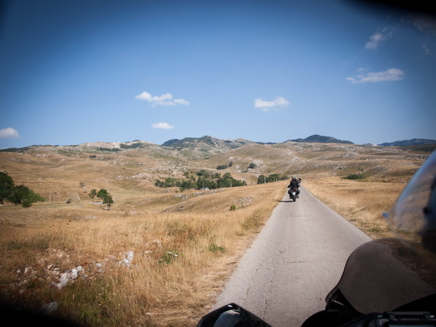
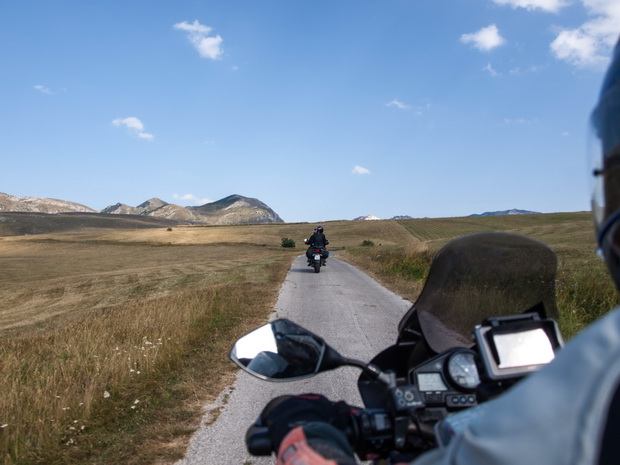
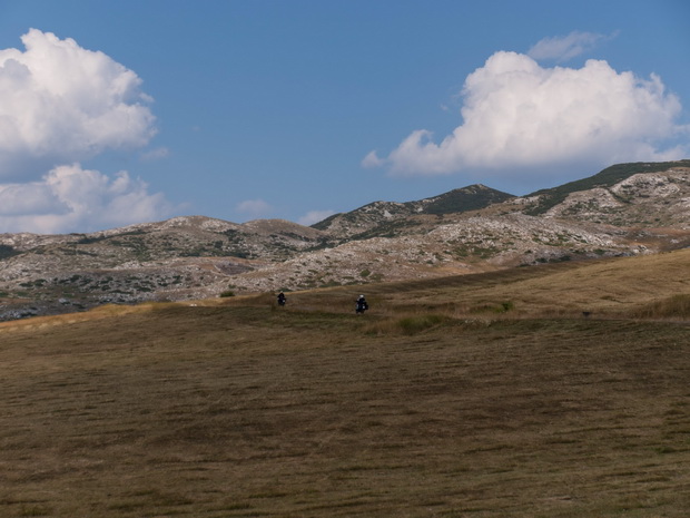
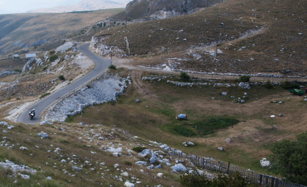
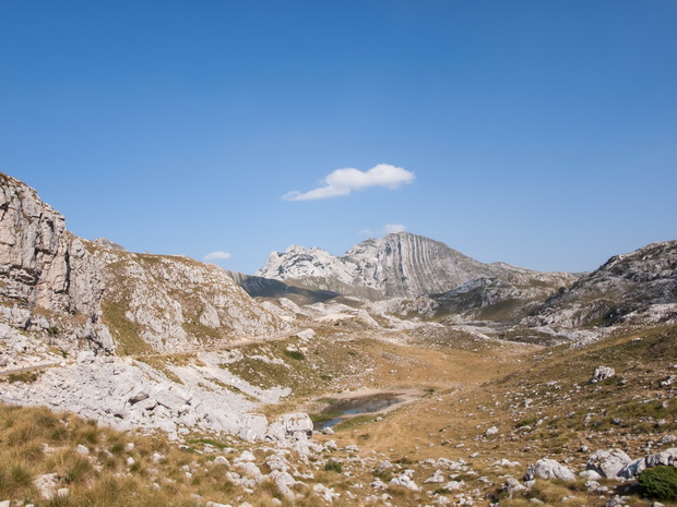
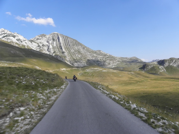
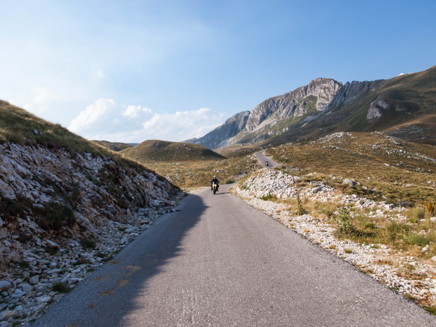
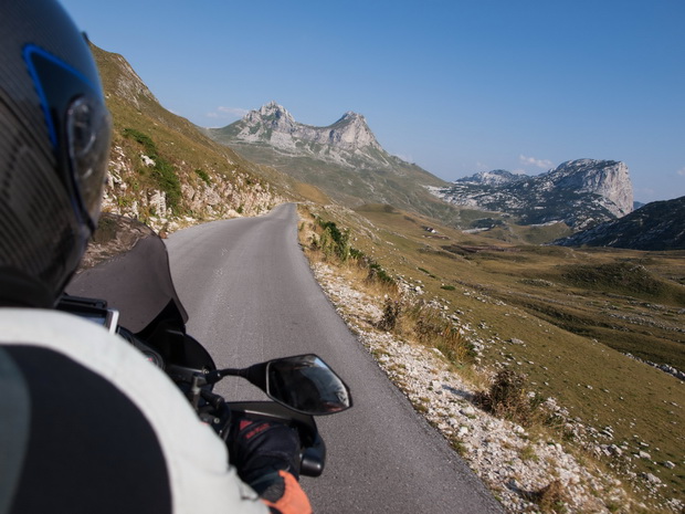
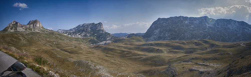
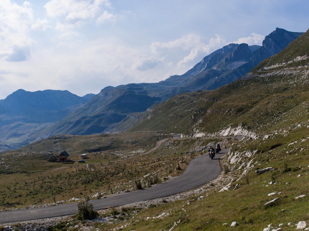
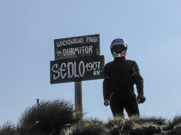
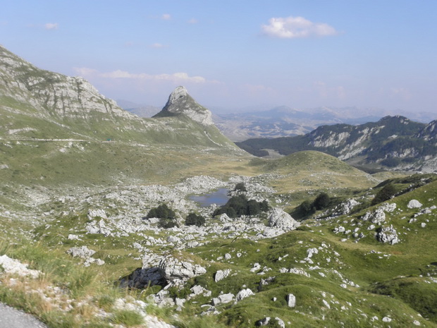
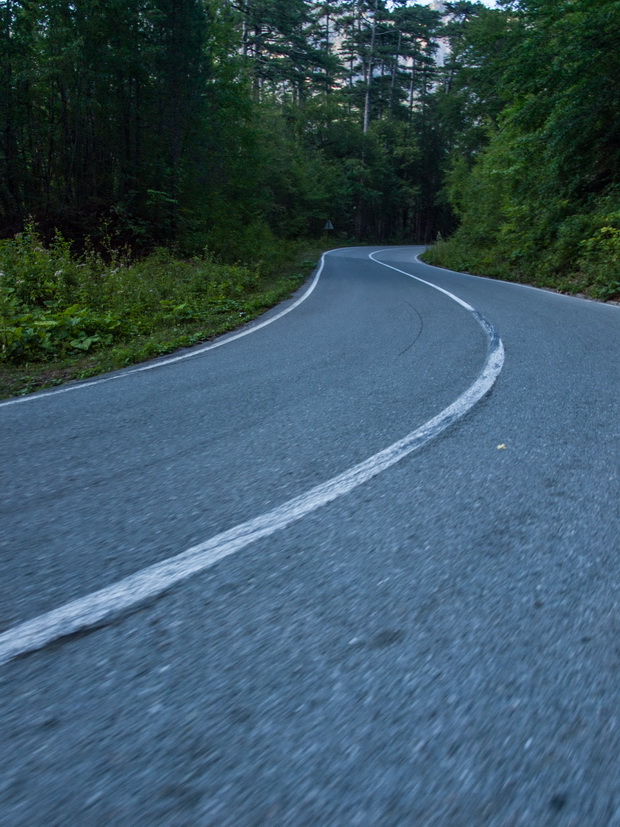
The scenery that followed was even better. The altitude was between 1000 and 1500 meters and the landscape was alpine. A lonely narrow road “tears” the green fields under huge rocky and impressive mountains. Our camera was on fire as we enjoyed the scenery moving slowly to the highest peak of the park, at 1907m.

Click to enlarge

Click to enlarge
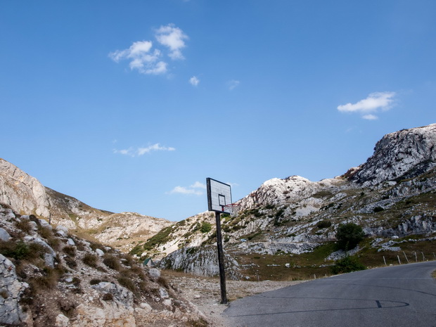
A basketball court on the road, in the middle of nowhere…
Observe the above photo. On the left, on the road there is a basketball court, on the right a football field and a small house in the endless meadow!

Click to enlarge
Click to enlarge

Click to enlarge
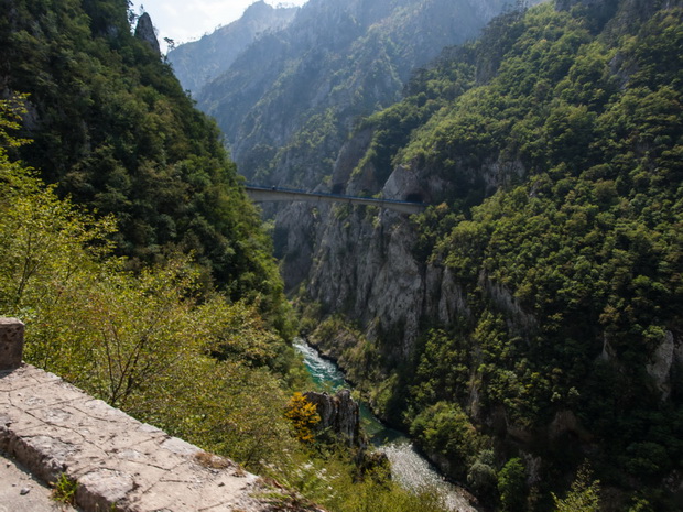
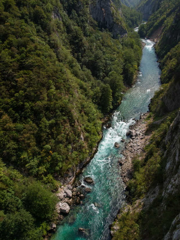
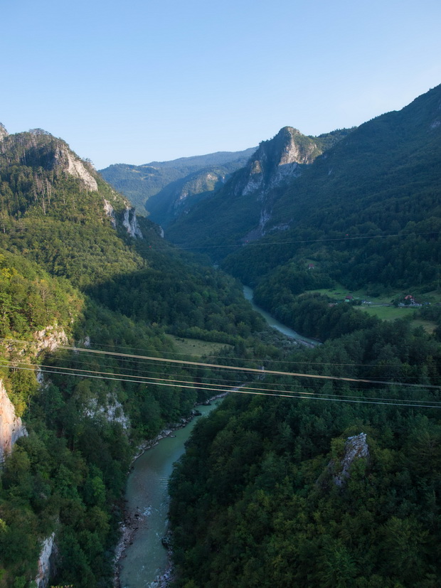
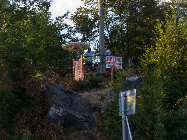
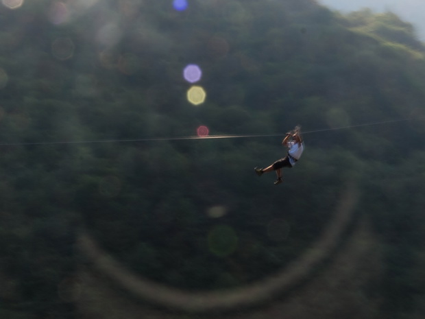
We continue going down from the top, still inside the National Park until we reach the canyon of the river Tara. We make a stop over the impressive towering bridge (172m).
Along and parallel to the bridge there are cables and pulleys, which are used for aerial crossing of the river at the cost of 5 €. We thought about it but we didn’t do it… So take photo of the guy who runs the sport, making a demonstration…
The length of the canyon is 82 km, it’s the deepest in Europe. The deepest point is 1,300 meters and it is included in the World Heritage sites of Unesco.

Click to enlarge

Click to enlarge
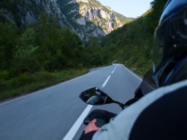
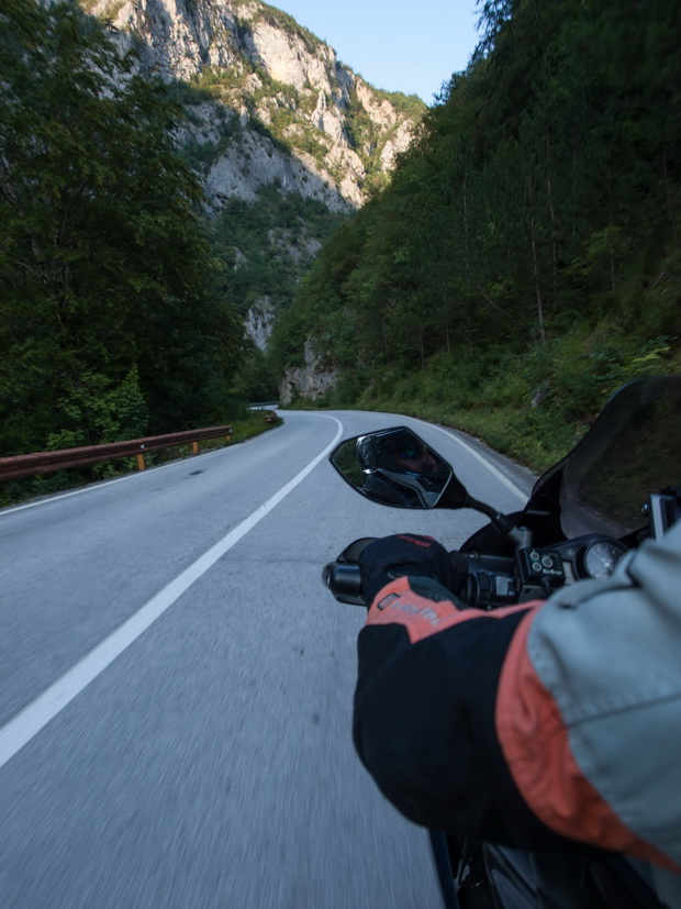
Half an hour later, we continue our route beside the amazing river Tara.
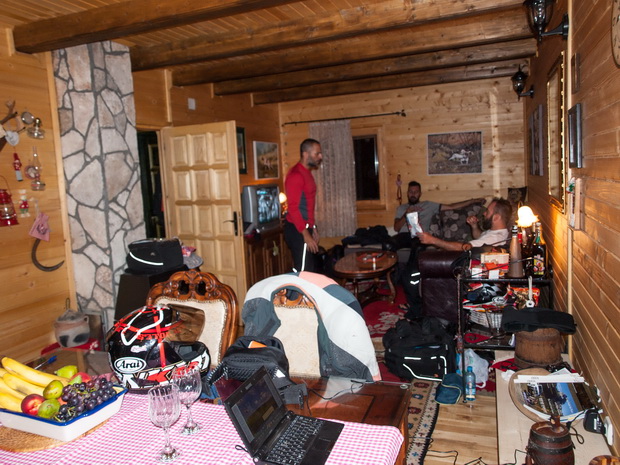
Late in the afternoon we approach our destination for the day, the village of Kolasin. We have booked a chalet ( Log House Tara </ a>) just outside the city, which we found easily. It is a brand new -prefabricated I think- wooden house, with three double bedrooms upstairs and a large living room – kitchen with 2 sofa beds downstairs. The only disadvantage was the one and only bathroom, that wasn’t enough for 8 people. Even worse for us, the toilets pipes were blocked leading water to flood on the toilet floor.
But our mood was too good to be destroyed from details. We were laughing with it and even more when Pelopidas called the house owner to inform her about the pipes and we heard him say: “pee outside, no problem”…
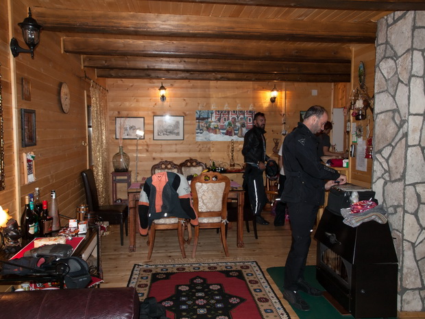
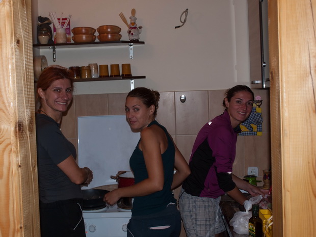
We were too tired to search for food, so we went to the nearest super market grabbed some pasta and the girls prepared our dinner.
Seconds later we were asleep…
| « Previous Page | Next Page » |


Μπραβο παιδια παντα τετοια ,
Ταξιδευω απο το 1992 με rd 350 στην αρχη fzr1000 ,hayabusa αργοτερα και απο περυσι t max500 yamaha.
Σας διαβαζω γιατι φετος θα ειναι η πρωτη φορα που θα περασω απο βαλκανια.
Λοιπον ας ειμαστε ολοι καλα να απολαμβανουμε αυτο το μοναδικο που σου κανει η μοτοσυκλετα , να σε κανει 18 χρονων με το που ξεκινας το ταξιδι
Ευχαριστούμε Χρήστο…
Είμαι σίγουρος πως θα περάσεις υπέροχα. Τα Βαλκάνια κρύβουν απίστευτες ομορφιές.
Οι μοτοσυκλέτες είναι “μηχανές του χρόνου” τελικά 😉
Πραγματικά πολύ όμορφο ταξιδιωτικό, φέτος είμασταν και εμείς στο περίπου!!! Το μόνο που έχω να πω σαν διευκόλυνση, αν δεν το έχετε κάνει ήδη, πιστεύω ότι είναι καλύτερα να πηγαίνεις μαυροβούνιο μέσω κοσόβου. Δηλαδη σκόπια, κόσοβο, μαυροβούνιο. Εχω πάει ήδη 2 φορές από αυτην την διαδρομή και με αυτά που βλέπω από αλβανία είναι πολύ καλύτερη από άποψη δρόμων. Δεν υπάρχει κανένας κίνδυνος, απλά βγάζεις μια ασφάλεια 15 ευρώ που ισχύει για 15 μέρες πριν μπεις στο κόσοβο, συνεχίζεις μεχρο ουροσεβατς και απο εκει αριστερα να περασεις τα σύνορα για μαυροβουνιο. Λιγα παραπάνω χλμ αλλα που βγαίνουν πιο εύκολα και πιο γρήγορα.
Έχεις δίκιο Γιώργο. Μαυροβούνιο – Κόσοβο – Σκόπια είναι πολύ πιο εύκολα. Εμείς επιλέξαμε Αλβανία γιατί θέλαμε να κάνουμε την ορεινή διαδρομή Kukes-Peshkopi, η οποία είναι κα-τα-πλη-κτι-κή, αλλά όλα τα περίχωρα είναι δράμα…
Όπως και να ‘χει, όλα είναι μια εμπειρία. Ταξίδι να είναι και όπου να’ ναι!
Καλούς δρόμους να ‘χουμε
ΠΟΛΥ ΚΑΛΟ ΚΑΙ ΑΝΑΛΥΤΙΚΟΤΑΤΟ.ΕΙΝΑΙ ΤΕΛΙΚΑ ΞΕΣΗΚΩΜΟΣ ΝΑ ΔΙΑΒΑΖΕΙ ΚΑΝΕΙΣ ΤΑ ΤΑΞΙΔΙΩΤΙΚΑ ΣΑΣ.ΤΟ ΚΑΛΟ ΕΙΝΑΙ ΝΑ ΕΧΕΙ ΠΟΚΙΛΙΑ ΤΟ ΤΑΞΙΔΙ ΚΑΙ ΑΥΤΟ ΕΙΧΕ ΣΥΝΔΙΑΣΜΟ ΟΛΩΝ(ΣΑΛΩΝΙΑ-ΑΛΩΝΙΑ).ΤΕΛΙΚΑ ΔΕΝ ΘΑ ΠΑΩ ΠΟΤΕ ΠΟΡΤΟΓΑΛΙΑ ΑΠ’ΟΤΙ ΦΑΙΝΕΤΕ…ΠΑΛΙ ΣΤΑ ΒΑΛΚΑΝΙΑ ΘΑ ΒΡΕΘΩ….
Να ‘σαι καλά Γιώργο. Τα Βαλκάνια όντως μας έλκουν σαν μαγνήτης. Έχουν κάτι το μαγικό που όλο μας κάνουν να στρέωουμε τις ρόδες μας προς τα εκεί. Ίσως είναι το ανεκμετάλευτο ακόμα παρθένο τοπίο που σε συνδιασμό με τους αυθαιντικούς ανθρώπους που δεν σε κοιτάνε σαν κομπόδεμα. Ένα είναι σίγουρο πάντως… Πως και οι δικές μου ρόδες σύντομα θα ξανατραβήξουν ξανά προς τις Βαλκανικές χώρες. Έχω κάνει 5-6 ταξίδια εκεί, αλλά έχω ακόμα πολλά να δω.
Πολλά ευχαριστώ & πολλά μπράβο στην παρέα!!
Να είστε καλά παιδιά!!Πάντα τέτοια!!
Να είστε γεροί να ταξιδεύετε!!
Ευχαριστώ για το χρόνο & την ενέργεια που δαπανήσατε για να το μοιραστείτε!!
Τέτοια ταξιδιωτικά αποτελούν πολύτιμο διάλλειμα & πηγή πληροφοριών για κάθε επίδοξο ταξιδιώτη.
Ευχαριστούμε Κωστή 😉